Spatial Thoughts Newsletter #39
High-resolution DSM from Google Buildings, PyQGIS Masterclass, New Python tutorials
Extracting High-Resolution DSMs using Google Open Buildings Temporal 2.5D Dataset
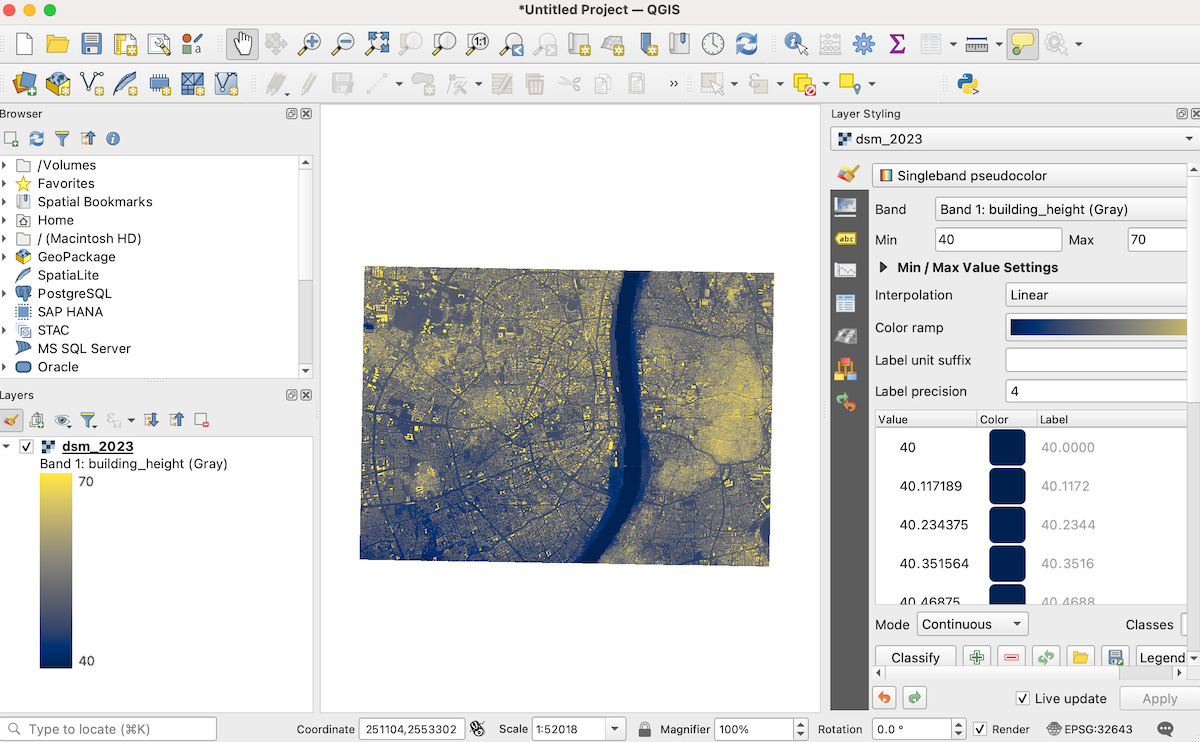
I spent the last few weeks exploring the recently released Open Buildings 2.5D Temporal V1 from Google. This is a hugely valuable dataset that can help researchers in developing countries get access to high-resolution building heights data. Combining this with other open datasets, you can derive a High-resolution Digital Surface Model (DSM) at 4m spatial resolution across large swaths of the world. You can also extract 2.5D building footprints polygons for each of the years from 2016-2023. Check out the newly published article Extracting Building Heights from Open Buildings 2.5D Temporal Dataset with open-source code for Google Earth Engine (GEE) for extracting this data for your area of interest.

Upcoming PyQGIS Masterclass
Registration is open for the next cohort of the PyQGIS Masterclass. This course is ideal for folks who already know Python and QGIS but want to learn how to use them together for automation and building plugins.
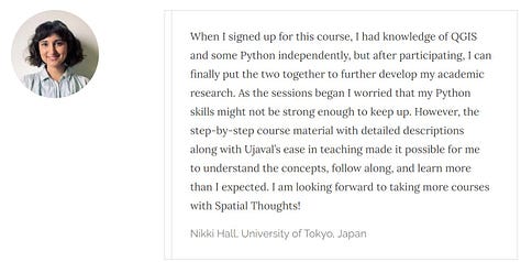
This is a difficult skill to master on your own, but our paid instructor-led program is designed to help you navigate the complex API in a simple and structured manner, as evident from the reviews from past participants.


New Tutorials and Learning Resources
New XArray tutorial on Aggregating Time Series that uses the Indian Meterological Department (IMD) and shows how to efficiently aggregate a daily precipitation time series to create and download monthly GeoTIFFs.
We published additional supplementary materials for our End-to-End Google Earth Engine course covering:

