Spatial Thoughts Newsletter #36
QGIS User Conference, Google Geo for Good, Cloud-native Workflows with QGIS, #PythonDatavizChallenge
Conferences
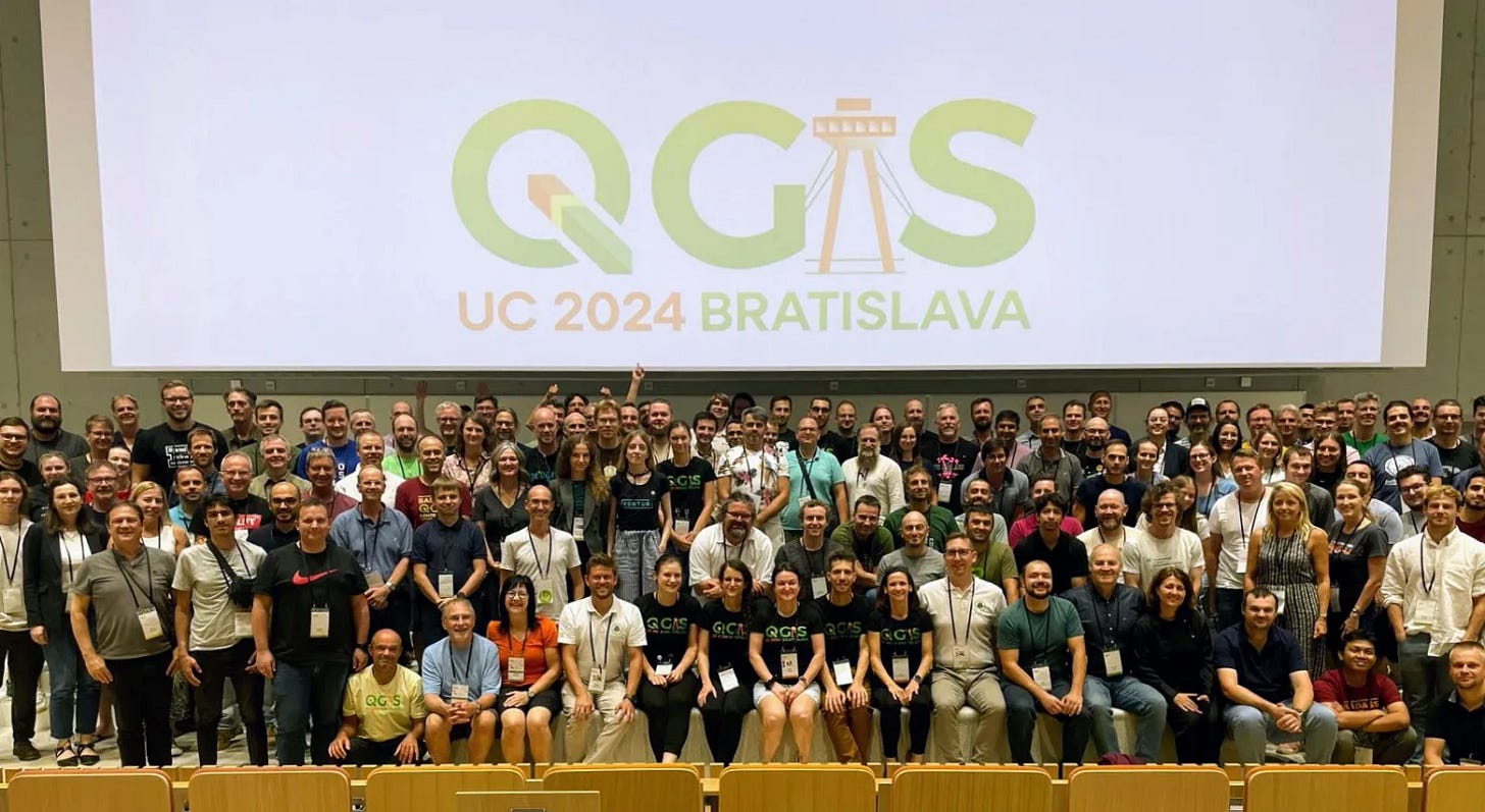
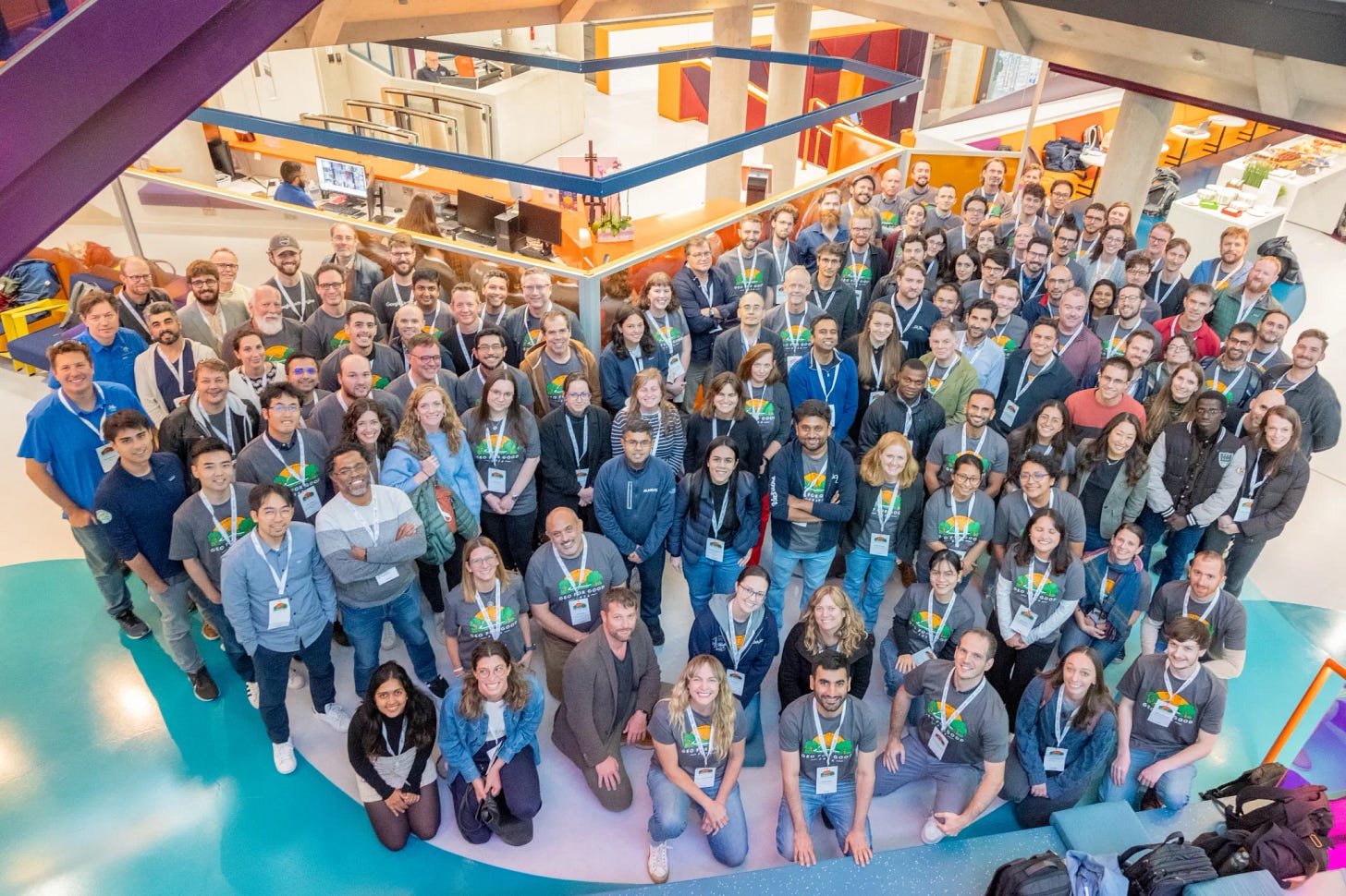
I attended two conferences in the past month: the QGIS International User Conference 2024 in Bratislava, Slovakia, and Google’s Geo for Good Summit 2024 in Dublin, Ireland. Both conferences provided plenty of new and exciting updates, and I have written detailed blog posts with resources, links to recorded talks, and my key takeaways.


QGIS Expressions Masterclass
Check out my new video covering QGIS expressions from the very basics and shows you how you can solve complex problems and build beautiful visualizations.
New Workshop: Cloud Native Geospatial Workflows with QGIS
Do you know that QGIS can now
… stream a 8GB raster file or a polygon layer with 2.5 million vertices directly from cloud-hosted files
… calculate zonal stats with large vector and rasters on remote files and display results on your computer
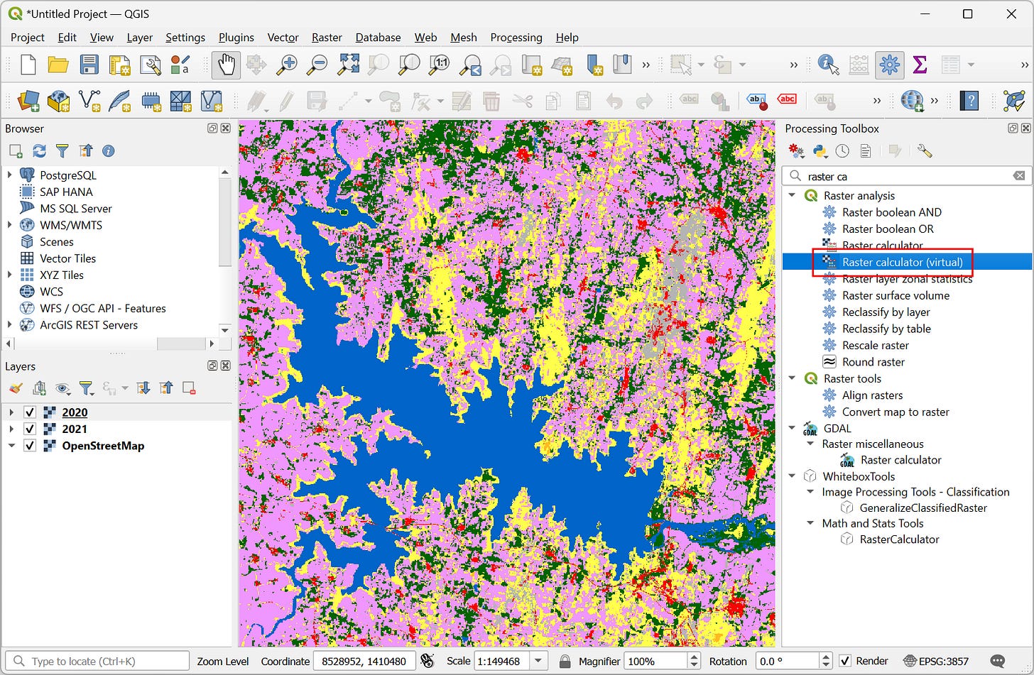
… calculate landcover change to detect lost waterbodies in real-time as you move your map canvas
… calculate remote sensing indices on cloud-hosted Sentinel-2 images
all for free, instantly and without downloading any data? This is not a vision of a distant future - but a reality that is possible now in QGIS - thanks to modern cloud-optimized data formats and standards like STAC. Sounds intriguing? Check out my new workshop Cloud Native Geospatial Workflows with QGIS that is freely available for self-study.

#PythonDatavizChallenge
Want to level-up your Python skills? We are launching a 30-day free challenge to learn Mapping and Data Visualization with Python. You will learn how to create charts, maps, work with large raster and vector datasets, create interactive maps, dashboards, and data-driven apps. All you need to do is spend 30 minutes every day watching a video and working on a coding exercise. Read more on how to participate and access the resources below.


Thank you so much Ujaval jee for the nice summary. Felt like I was there too.