Spatial Thoughts Newsletter #35
Introduction to QGIS Course, Cartograms with QGIS, Earth Engine Cloud Migration Guide and more
Introduction to QGIS Course
Our full course Introduction to QGIS is now available on YouTube! This is a beginner-friendly course designed to help you learn how to use QGIS for creating maps, visualizing spatial data, georeferencing, data editing, and spatial analysis. Learn QGIS in a structured way with a unique teaching style that will make your learning journey fun and rewarding.
Animated Cartograms in QGIS
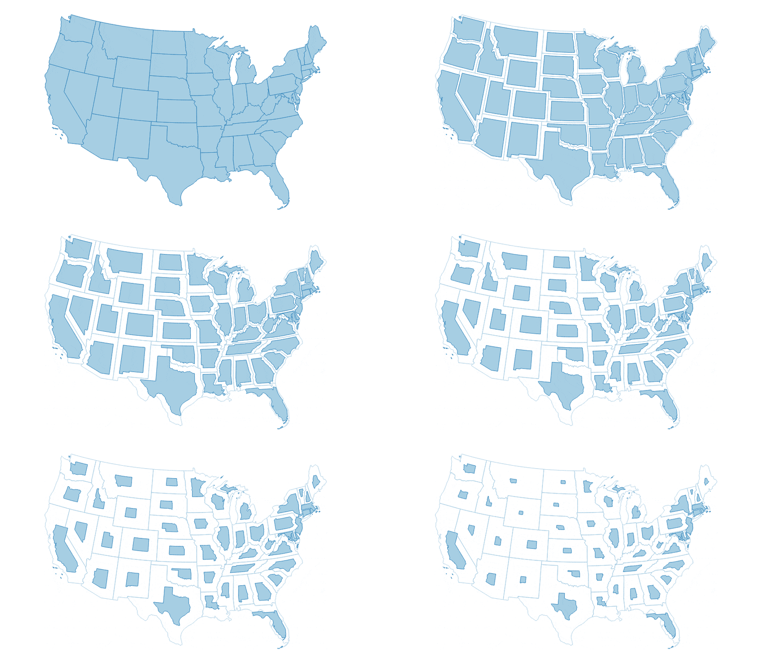
A cartogram is a type of map visualization where the shape of each feature is distorted in proportion to a variable. Cartograms make it easy to see large variations in the data. We have published a new tutorial that leverages QGIS expressions to create animated noncontiguous area cartograms.
Earth Engine Cloud Migration Guide
If you are a Google Earth Engine user, you would have gotten an email from Google [Action Required] Link Earth Engine to Cloud Projects and verify noncommercial use. Confused how to proceed? We have compiled a simplified guide with FAQs to help you migrate your legacy GEE account to a cloud project.
Python Maps with Cartographic Elements
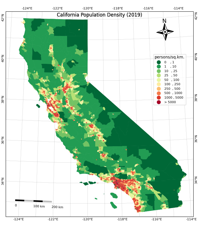
Python users can now build re-producible maps using EOMaps library that integrates CartoPy, GeoPandas, and Matplotlib allowing you to create maps with gridlines, scalebars, and north arrows. A complete example notebook


You and I have a similar path in GIS. But I started with ESRI software and have been using it ever since. There have been times when a client wants to use FREE GIS software and QGIS has been the solution in those cases. I never got quite as comfortable with it as I did with ArcGIS. This training you have provided helps with that. I am eternally thankful and will be digesting all your QGIS training to become as comfortable with it as I am with ArcGIS. Thank you very much!! Great job!!