

Spatial Thoughts Newsletter #29

GeoWebCast Podcast: All about QGIS
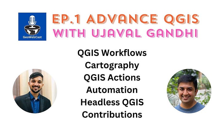
I was interviewed by Krishna Lodha for the inaugural episode of the GeoWebCast podcast. We talked about the wild possibilities of QGIS for analysis, cartography, and automation. I shared many tips and techniques for automating workflows. If you want a highlight - jump to 13:15 in the video to see the demo where I create a beautiful colorized map of river basins with QGIS in just a few steps.
New Workshop: Introduction to Google Earth Engine in Javascript
Google Earth Engine (GEE) is a powerful cloud-based software for working with earth observation datasets - but it has a steep learning curve. If you have tried using GEE but found it difficult to ramp up - check out my new free 5-hour workshop Introduction to Google Earth Engine in Javascript. This short hands-on workshop is the perfect stepping stone that covers GEE from the very basics and assumes no programming knowledge. I taught this at the Geo for Good 2023 conference and the professionally produced videos along with the course materials are now available for anyone! Head over to the workshop homepage to access the workshop material and videos for free!
Geo for Good 2023 Conference
I was at Google’s annual Geo for Good conference in Mountain View, California. There were several big announcements for Earth Engine users along with very useful talks. All the sessions are now available for streaming. My Top 3 recommendations are below:
Earth Engine Scaling and Debugging by Noel Gorelick
Using Earth Engine for very large computations by Mike Dixon
Detecting clouds and cloud shadows using weakly supervised video analysis by Valerie Pasquarella and Andréa P. Nicolau
Learning SQL with DuckDB
SQL is a must-have skill for the modern geospatial professionals. Prof. Qiusheng Wu launched a new beginner-friendly course that teaches you Spatial Databases with DuckDB. DuckDB is a new high-performance database that brings a paradigm shift in how we process data. I strongly believe that this will be a key technology in the spatial domain in the coming years. Even if you know SQL - this free course will help you get your hands dirty with DuckDB.

I am still on a break and spending my time building a new course on Cloud-based Remote Sensing with Python using the modern open-source stack (XArray/Dask/STAC). It’s coming along well and hope to announce it soon.
Regular instructor-led online classes will resume soon. Check out all our Courses and Sign up on the waitlist to be the first one to know when you can register for a live class.